Stories & Articles • 14 November 2026

The Neighbourhood That Taught Canada How to Build Suburbs

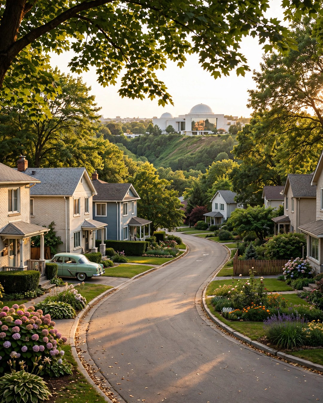
Before Don Mills, Canadian suburbs just… happened. Then, in 1953, industrialist E.P. Taylor and a young planner named Macklin Hancock did something radical on 2,000 acres of farmland: they designed a whole community before building a single house.

The result was Canada’s first fully planned community — and the blueprint for postwar suburbs across the country. Curving streets and T-intersections to slow traffic. Footpaths that let children walk to school without crossing a road. Homes, shops, parks and industry, each in its place, all woven together with green space. In 1997, the Ontario Heritage Foundation honoured Don Mills as a heritage community — the only one of its kind so recognized.

Walk it today and the genius still shows. Mature trees arch over quiet crescents. Edwards Gardens spills down the Wilket Creek ravine in roses and rock gardens. On Wynford Drive, the white domes and gardens of the Aga Khan Museum glow beside the Don Valley — a world-class cultural landmark that chose this neighbourhood as its Canadian home. Concorde Place’s towers have watched over the valley since the 1980s, home to generations of downsizers, professionals and newcomers who wanted green space without giving up the city.

And now, the newest chapter: the Eglinton Crosstown LRT — Line 5 — is open, with Wynford station putting Don Mills on the rapid-transit map in a way residents waited decades for. A neighbourhood designed for the future in 1953 is still, somehow, ahead of its time.

Don Mills rewards people who understand it — its floor plans, its buildings, its quiet premium. I’ve spent much of my 35 years in Toronto real estate, and 22 years as a licensed broker, helping clients read neighbourhoods exactly this way. Thinking about a move here? Call me at 416-543-4947 or book a chat at ashchopra.net.

Thinking of making Don Mills home — or wondering what your Don Mills home is worth today? Let’s talk.

Get Your Free Current Market Value ReviewBook a 10-Minute Strategy Call
Stories & Articles • 14 November 2026

The Cliffs That Named a Home

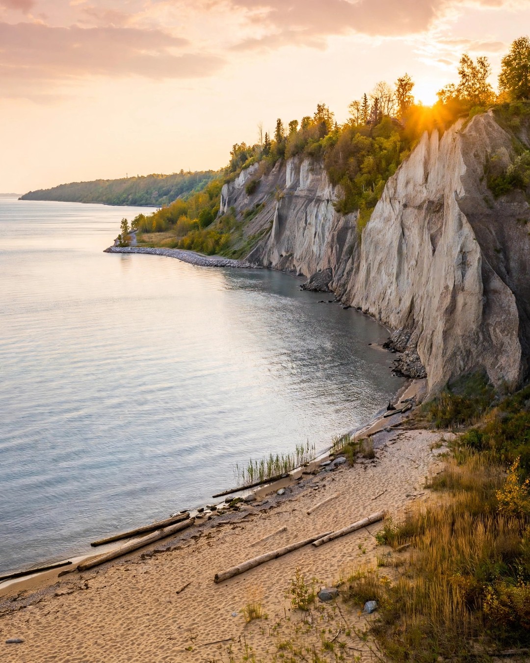
In the summer of 1793, Elizabeth Simcoe — wife of Upper Canada’s first lieutenant governor — looked out over the pale cliffs rising above Lake Ontario and felt a pang of homesickness. The bluffs reminded her of Scarborough, back home in Yorkshire, England. She wrote the name in her diary, and it stayed.

Those cliffs are still here: the Scarborough Bluffs, stretching some 15 kilometres along the lake and rising, in places, higher than a 20-storey building. Eleven parks sit along them. On a clear morning at Bluffer’s Park, with the beach below and the lake going silver to the horizon, it is hard to believe you’re still inside Toronto.

But Scarborough’s heart isn’t only in its scenery. It’s in Highland Creek, the valley that threads through the middle of everything, where salmon still run in the fall and where the first settlers — David and Mary Thomson, stonemasons who helped build York’s first parliament buildings — raised their mills and their family. Their farm is now Thomson Memorial Park, home to the Scarborough Museum. Down in the southeast, around Galloway Road and the Highland Creek ravine, streets are quiet, lots are generous, and neighbours still tend gardens their grandparents planted. Catherine Hernandez set her beloved novel Scarborough right here, in the Galloway neighbourhood, because she understood what locals know: this is a place where people look out for each other.

That’s the Scarborough story — a community built by waves of newcomers, each one putting down roots in the ravines and side streets, each one making it more their own.

My office sits right here, at 1825 Markham Road — Scarborough isn’t just where I work, it’s home base. After some 35 years in Toronto real estate and 22 years as a licensed broker, I know these streets the way you only can by walking them for decades. If you’re thinking of buying or selling in Scarborough, let’s talk it through: call me at 416-543-4947, or book a time at ashchopra.net.

Thinking of putting down roots in Scarborough? A 3-bedroom end-unit townhouse backing onto the Highland Creek ravine is available right now — take a look.

Get Your Free Current Market Value ReviewBook a 10-Minute Strategy Call
Vacant Land • 19 December 2025

Buying Rural Land in Greater Napanee: What You Need to Know About Zoning, Severance, and Conservation Rules

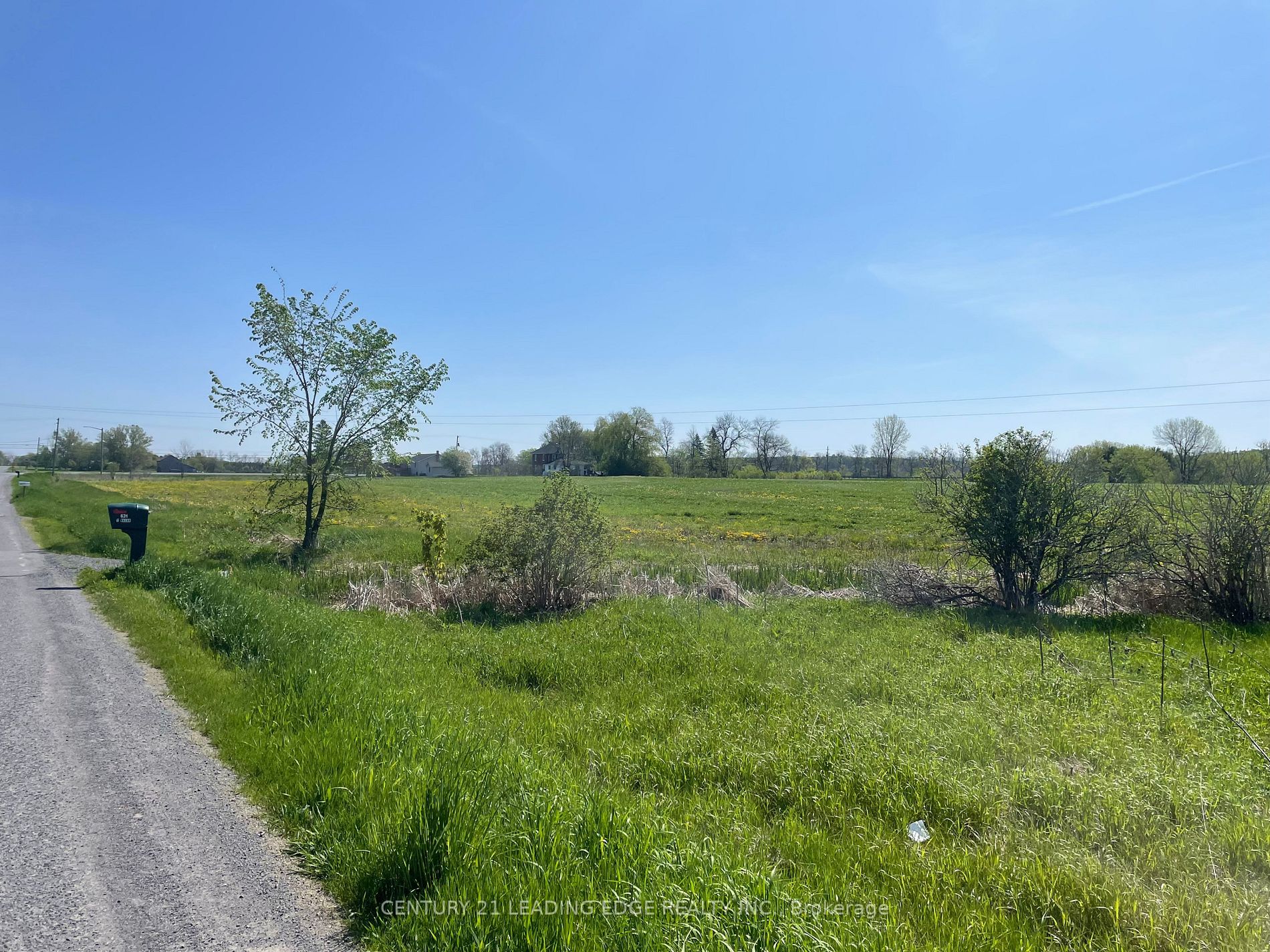
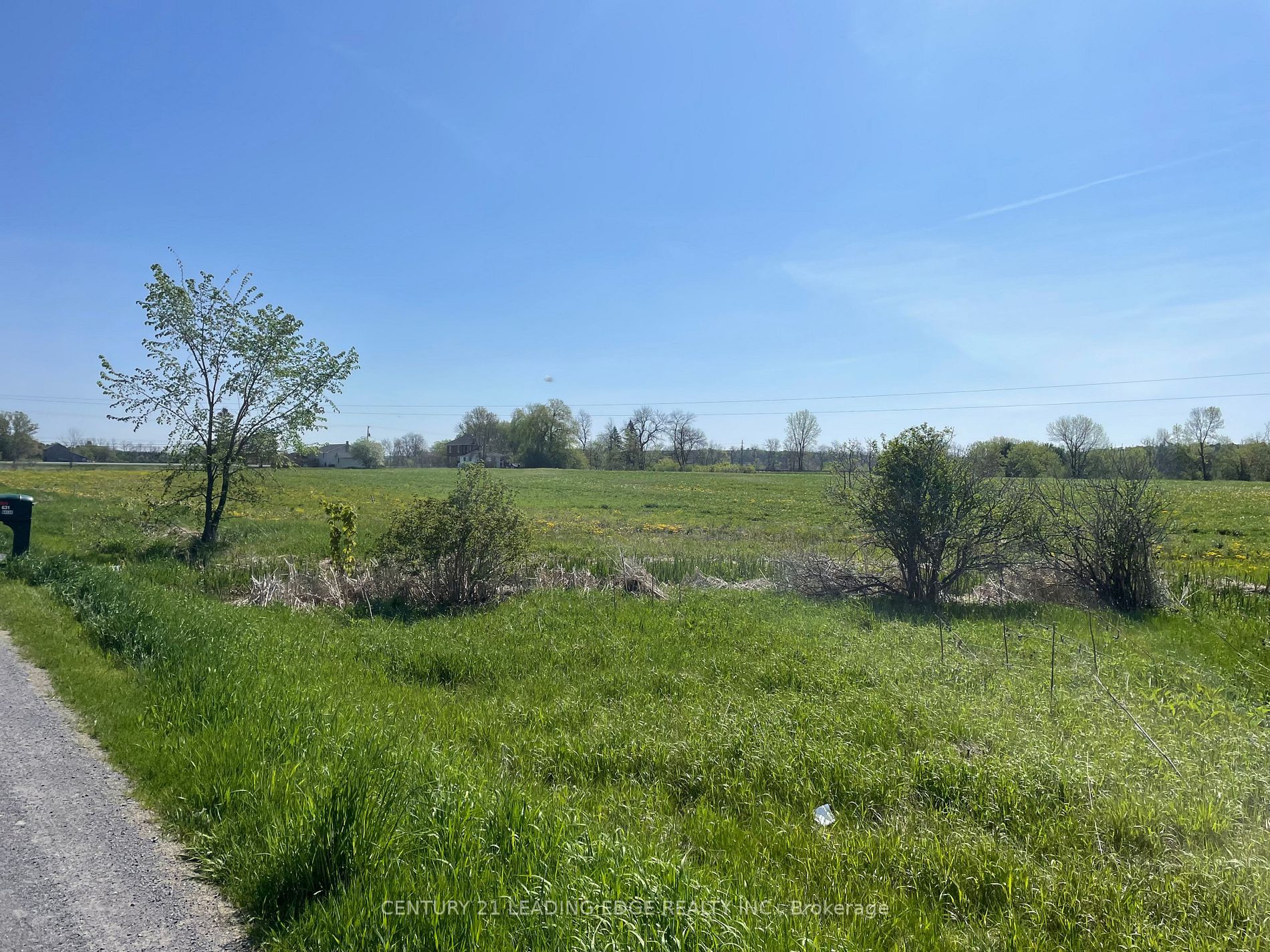
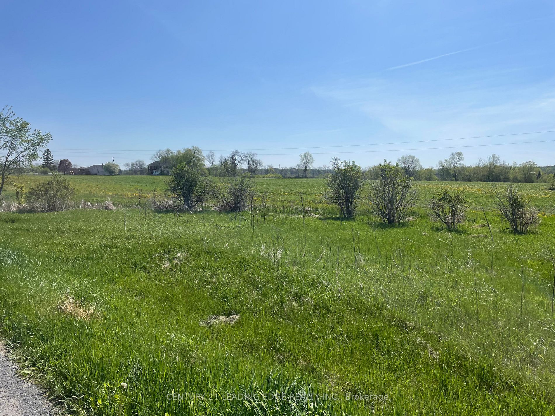
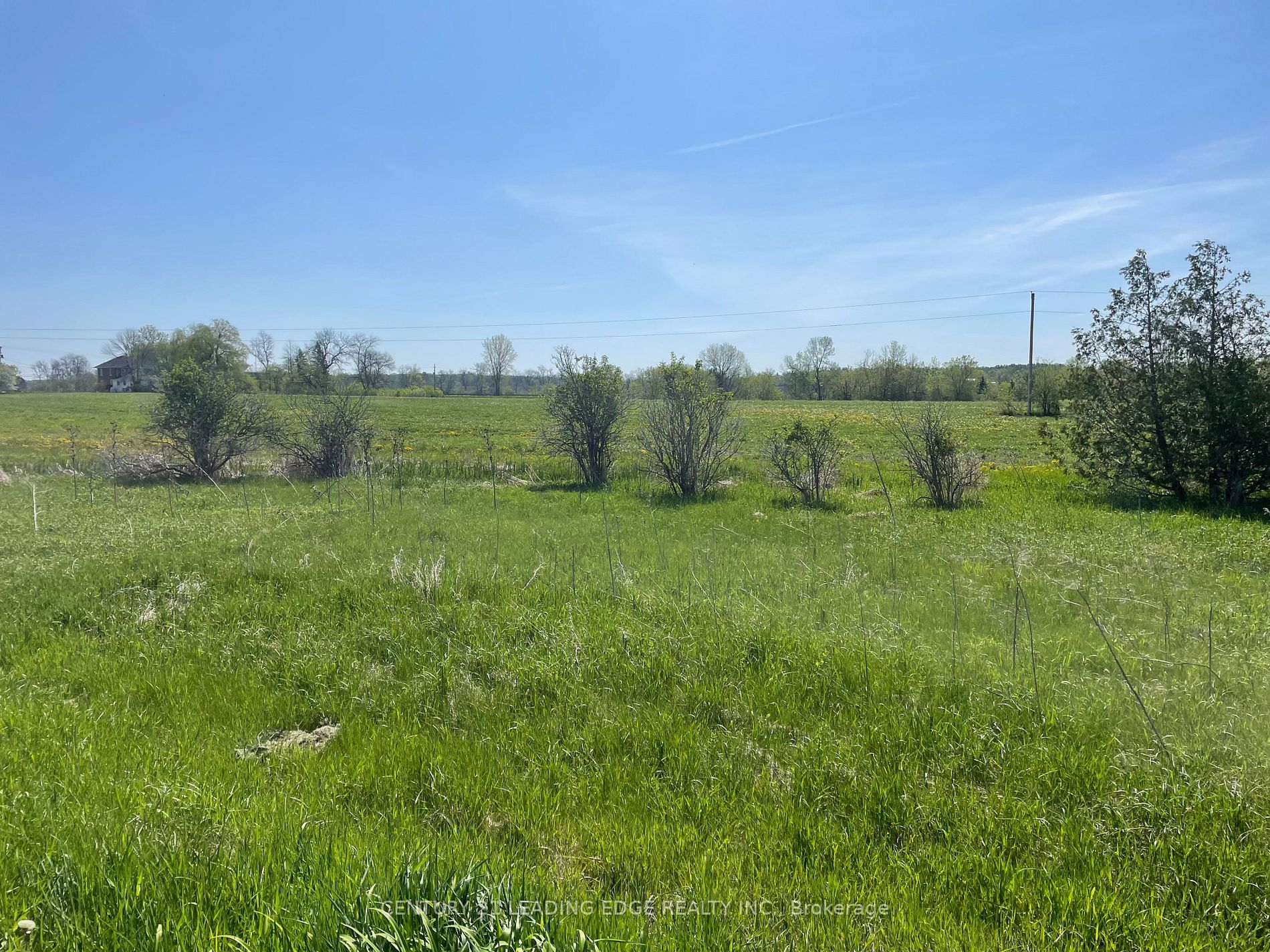
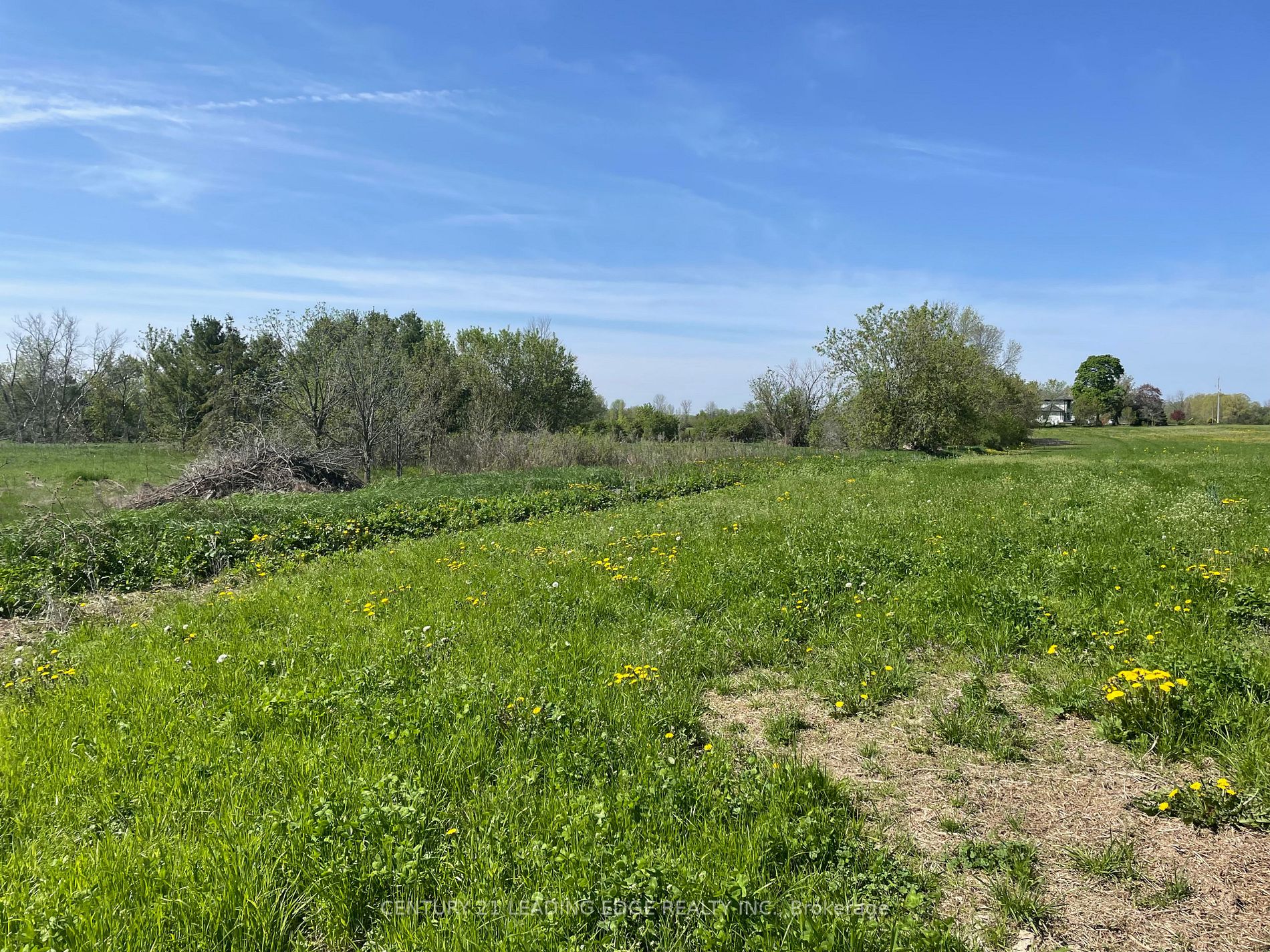
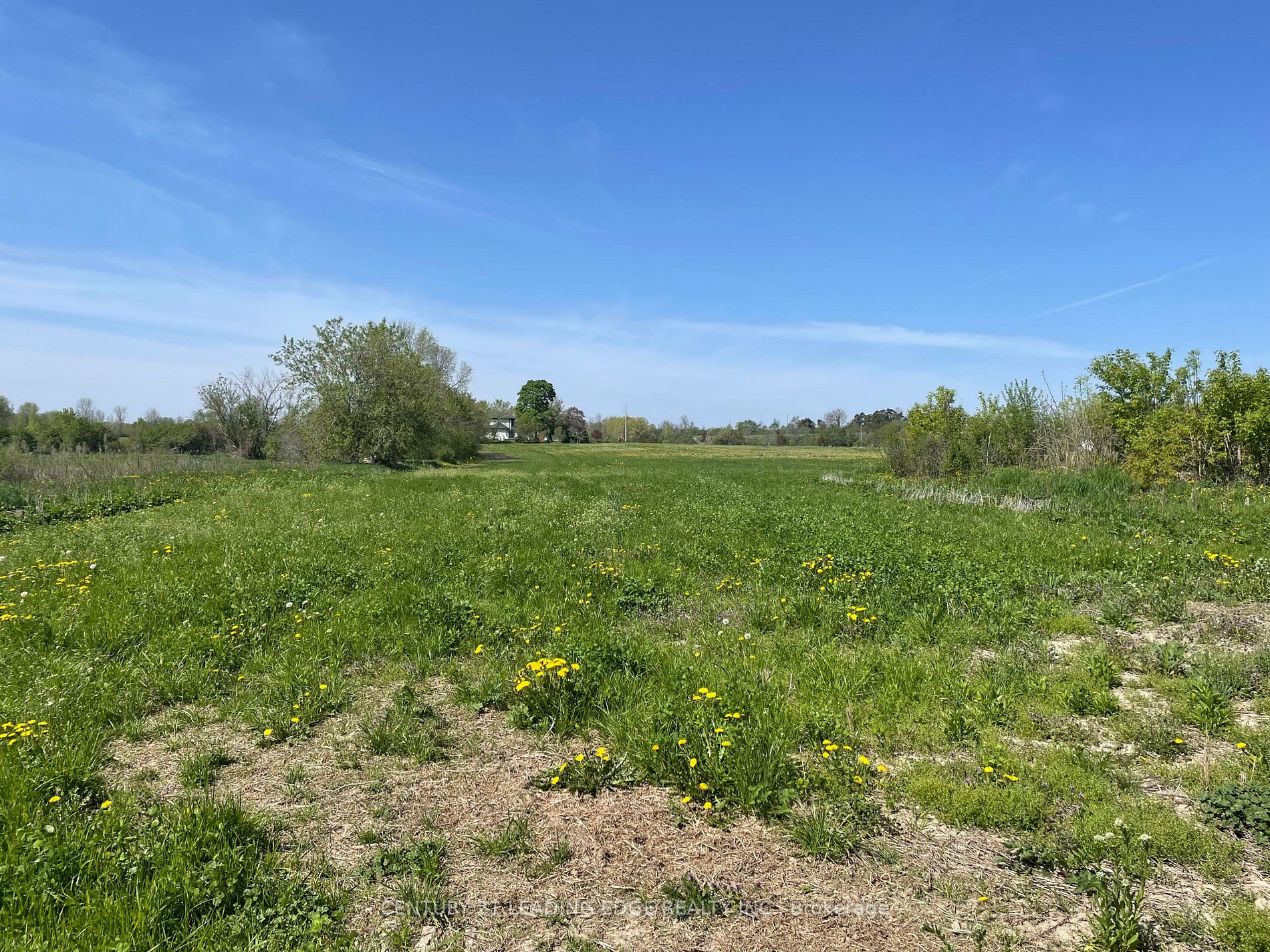
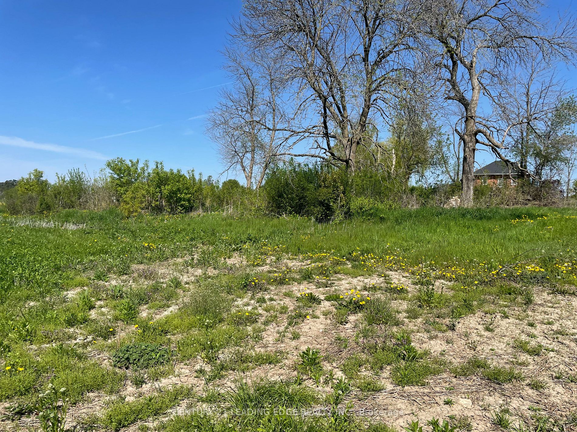
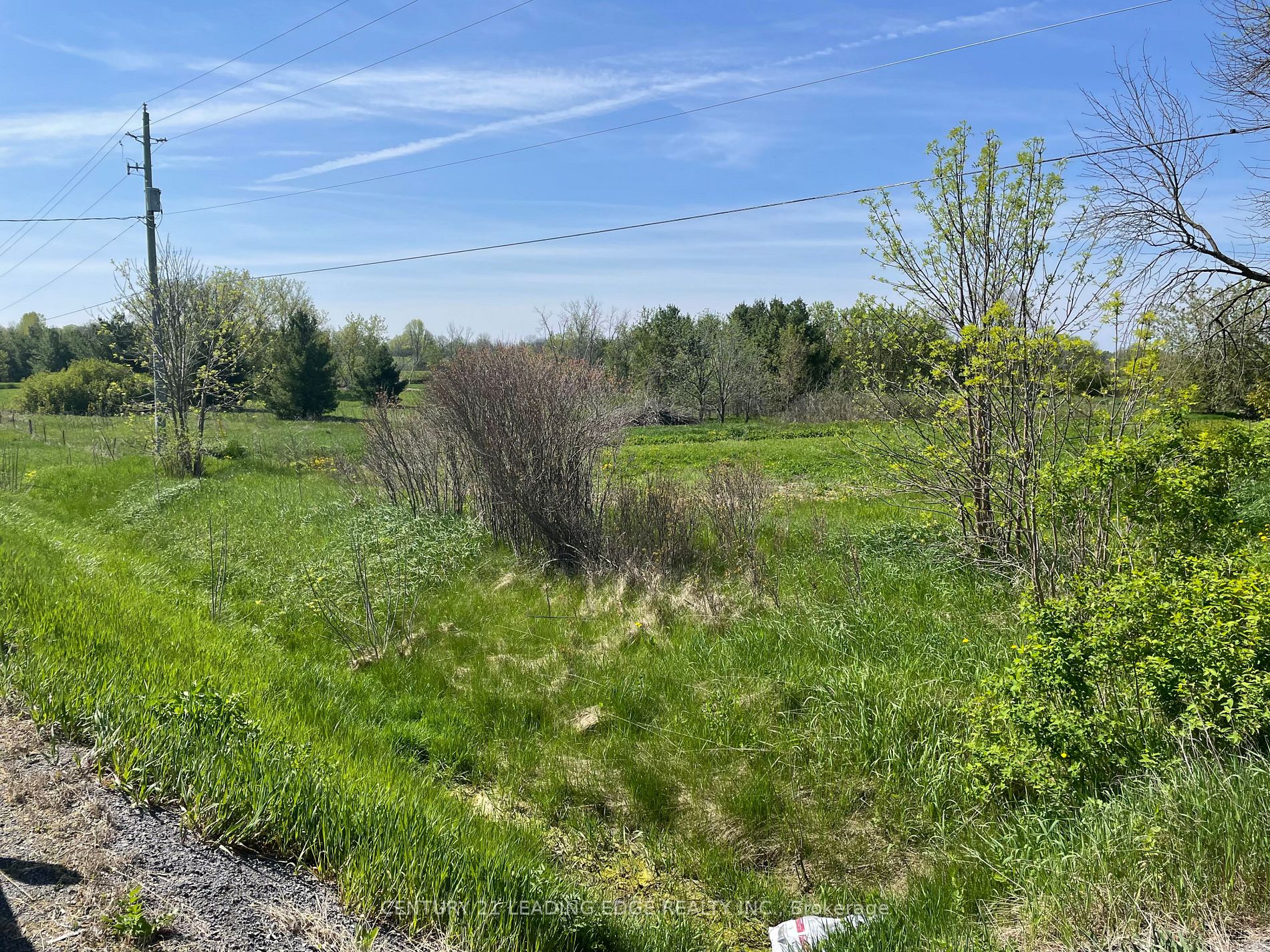
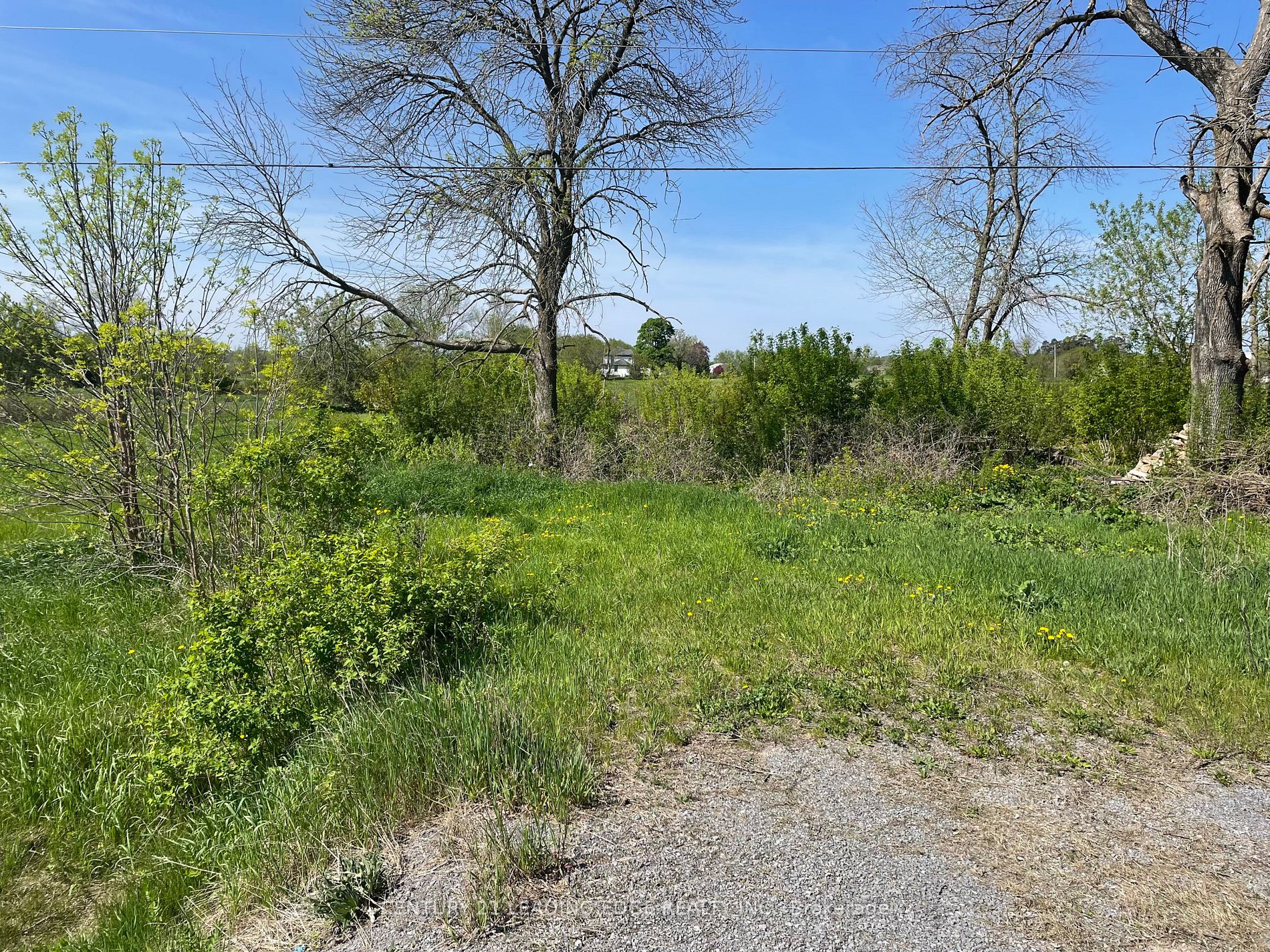
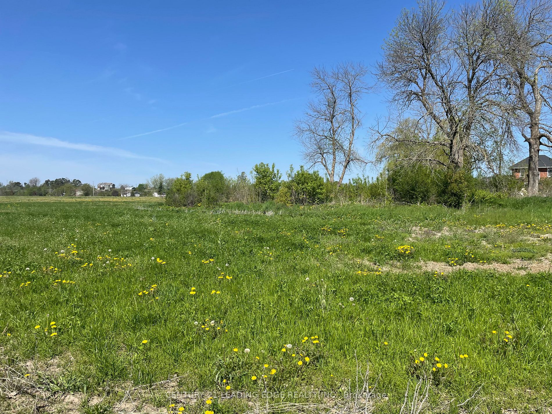
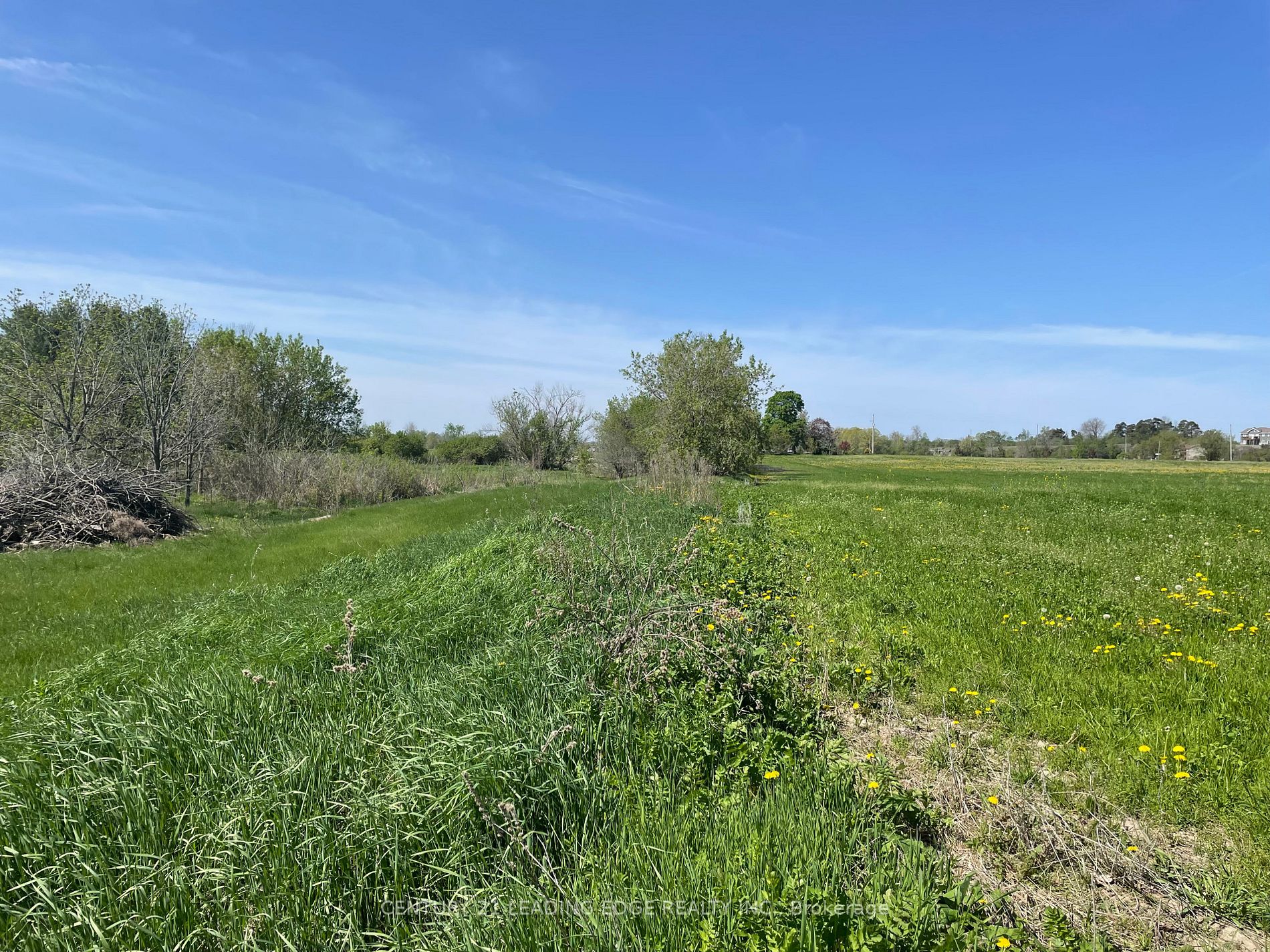
Buying rural land can be an incredible opportunity—but it can also be confusing if you don’t understand the planning rules that govern it. I’m seeing this firsthand in the Greater Napanee area, where interest in larger parcels of land has grown, especially from buyers looking for lifestyle properties, estate homes, or long-term investment potential.

Here’s what buyers and landowners should know before making a move.

Understanding RU (Rural) Zoning

Most rural properties around Greater Napanee are zoned RU (Rural). This zoning allows for a range of uses, including residential homes, agricultural activities, and certain rural-based uses. However, RU zoning does not mean “anything goes.” Development is still governed by the Town’s Official Plan, zoning by-laws, and environmental regulations.

Watercourses and Environmental Setbacks

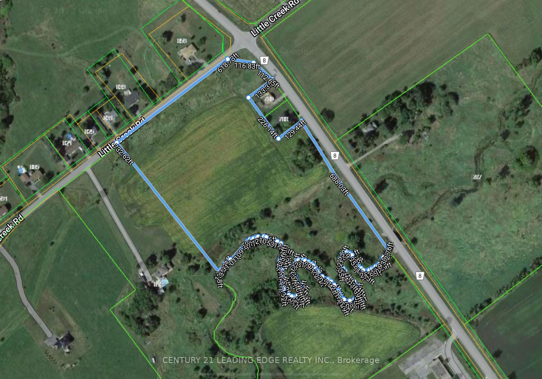
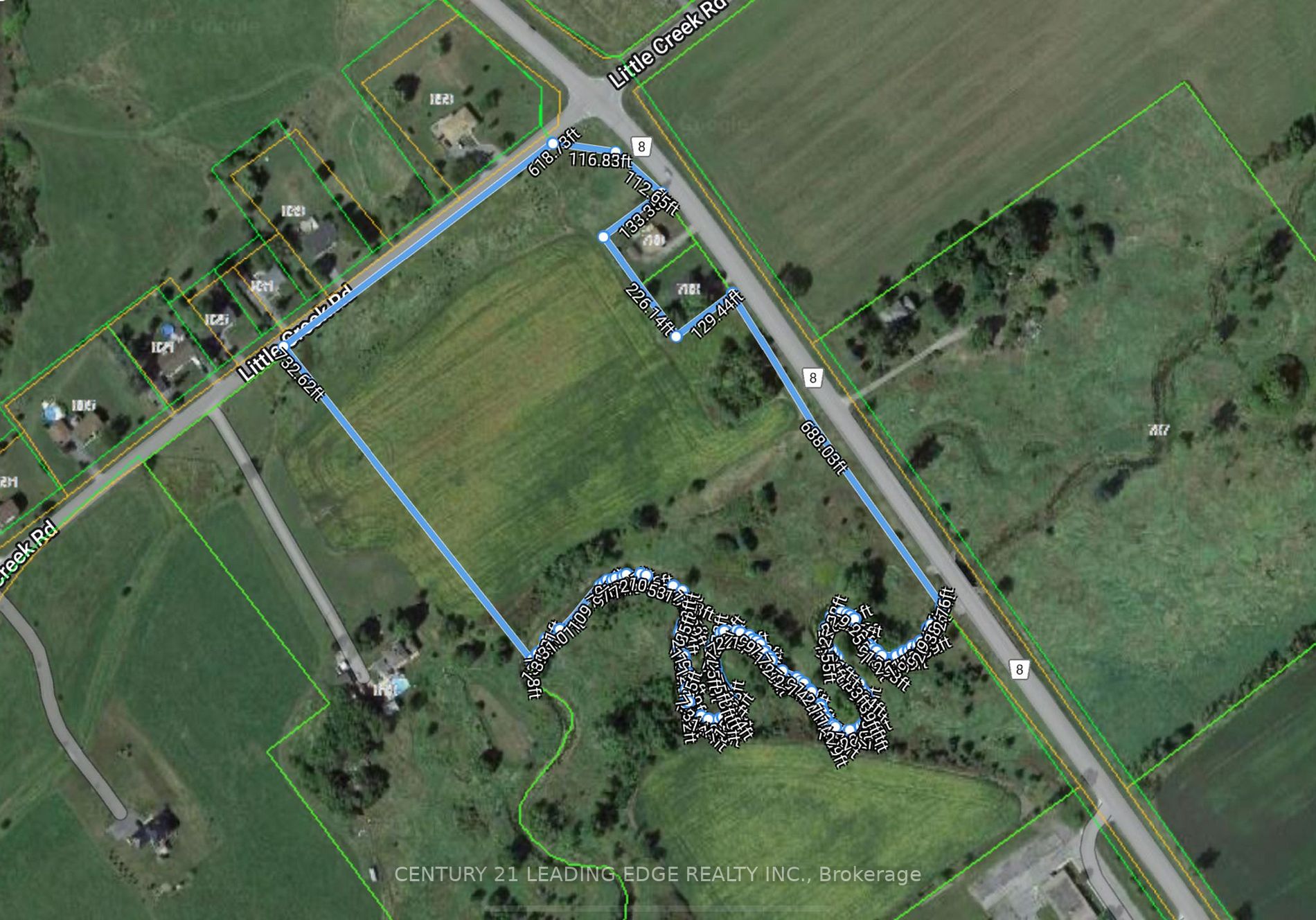
Many rural properties include creeks or watercourses. While these features add natural beauty, they also come with rules. In most cases, development must be set back a minimum of 30 metres from the high-water mark of a creek.

This doesn’t mean the land is unusable—it simply means careful planning is required to determine where a home or structure can be placed. Portions of land near watercourses may be designated as environmentally sensitive, while the remainder remains fully usable.

Conservation Authority Approval

If a property includes a watercourse or environmentally sensitive area, buyers should expect to consult the Cataraqui Region Conservation Authority. Any proposed development must comply with conservation regulations designed to protect water, soil, and natural habitats.

This is a normal part of rural development in Eastern Ontario, but it’s something buyers should factor into their timelines and expectations.

Severance Potential: What’s Possible and What’s Not

A common question I get is whether rural land can be severed into multiple lots.

In Greater Napanee, Official Plan policies typically limit severances based on how a parcel existed at the time the plan came into effect (2002). In many cases, a larger rural lot may be eligible for up to two lots, subject to approvals.

However, severance is never automatic. It may require:

  • Conservation Authority approval
  • Proof of adequate private services (wells and septic systems)
  • Hydrogeological studies
  • Reference plans and new deeds

Nearby properties on County Road 8 show that severances are possible, but they come with conditions, costs, and timelines—sometimes extending two years or more.

Why Transparency Matters

One of the biggest reasons rural land listings struggle is uncertainty. Buyers hesitate when zoning, environmental rules, or severance potential aren’t clearly explained.

Clear, upfront information builds confidence. When buyers understand what’s possible—and what isn’t—they’re far more likely to engage, ask questions, and come to the table.

Final Thoughts

Rural land can be an excellent lifestyle or investment opportunity, but it requires informed guidance. Zoning, conservation regulations, and severance policies all play a role in determining a property’s true potential.

If you’re considering buying or selling rural land in the Greater Napanee area, having clear answers upfront can make all the difference between hesitation and action.

If you’d like to discuss a specific property or explore what’s realistically possible, I’m always happy to have that conversation.